Gebel Barkal Sudan (Ancient Nubia) |
 Midpoint of the Bend
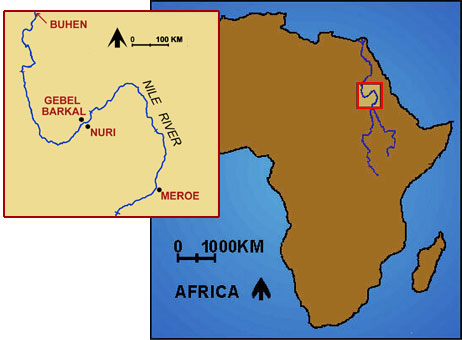
About 1450 BCE, the Egyptian pharaoh Thutmose III extended his conquests to Gebel Barkal and established it as the southern border of his empire. The city he founded there was called Napata. The Egyptians remained there only about 300 years. Later Napata became the seat of royal authority of an independent Nubian kingdom called Kush, and from about 720 to 660 BCE its kings conquered and ruled Egypt as the 25th Dynasty. Napata was the political capital of Upper Egypt (northward to Memphis) during the late-8th-century reign of Piyankhy (or Piye). After the Kushites were driven out of Egypt, Napata continued as an important royal residence and religious center until about 350 BCE, when the kingdom finally collapsed.
Map showing the location of Gebel Barkal and other key Nubian sites; © 1996 Learning Sites, Inc.
Razing the Temple
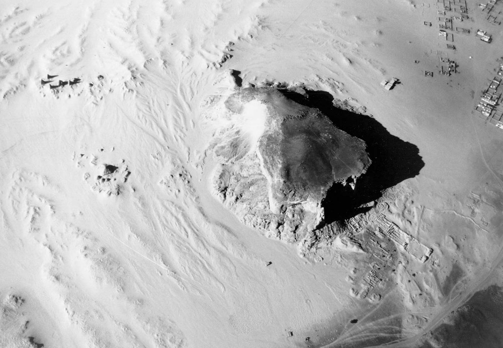
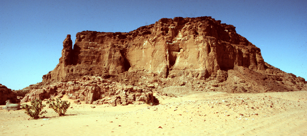
Throughout most of the history of Kush, Gebel Barkal appears to have been the primary center of royal coronations and kingship ritual. For centuries each new king of Kush came to Gebel Barkal to be confirmed and crowned by the god who dwelt within the mountain, just as kings very likely did during the New Kingdom. Throughout his reign each king of Kush also consulted the god’s oracle on matters of state and the conduct of war. Until the early third century BCE, the same oracle was even said to inform the king by letter of the moment when his reign should end, ordering him to commit suicide. This custom was reportedly abolished by a King Ergamenes, who, so condemned, took matters into his own hands, went to the temple with his troops and slew the priests. The veracity of this tradition is suggested by the fact that until the third century BCE, the kings traveled the 230km from Meroë to Napata for burial in pyramids erected for them across the river from Gebel Barkal at Nuri. Given the existence there of a Valley Temple, apparently for mummification, one must assume that most of them made the journey to the cemetery alive. In 24 BCE, Napata was attacked, plundered, and razed to the ground by a Roman army. The extensive remains at Gebel Barkal (encompassing at least 13 temples and 3 palaces) were first observed and described by European explorers in the 1820s, but it was not until 1916 that the first major excavations were undertaken, by George A. Reisner and the joint Harvard University / Museum of Fine Arts, Boston, Expedition. Reisner cleared nine buildings at the site and assigned them each a 100-number, prefaced by the letter B (for Barkal). From the 1970s to the present, excavations have continued by a team from the University of Rome, under the direction of Sergio Donadoni, which was joined in the 1980s by another team from the Boston museum, under the direction of Timothy Kendall. |
click on images to enlarge
|
Reference
Page Created: February 19, 2005
Page Updated: December 20, 2011
URL:
Page Author: The Institute for the Visualization of History